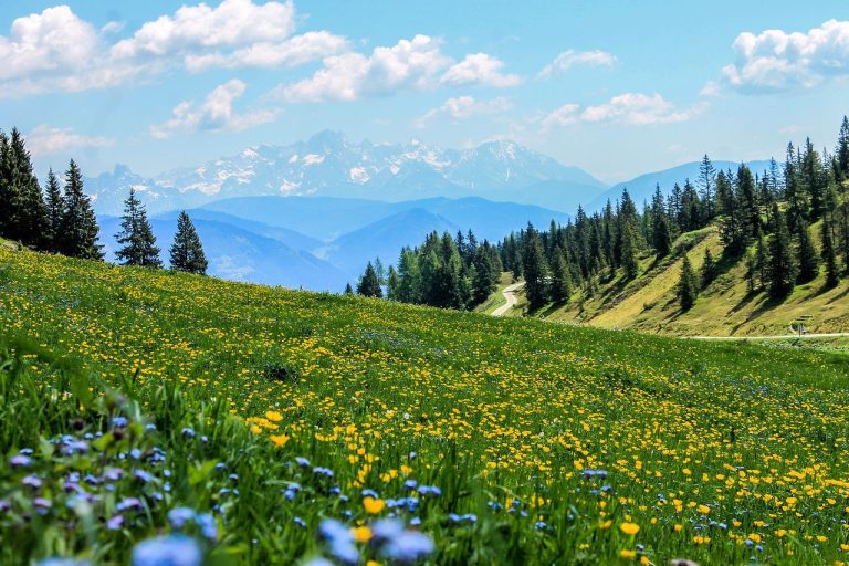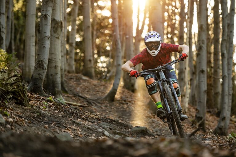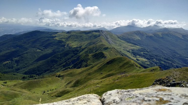
The route starts with a descent on part of the Abetone Gravity Park trail, heading towards Melo. Before reaching the village, take a climb that leads you straight into the heart of the most important dairy farms of the Pistoia Mountains, Le Roncacce and Taufi. A stop here offers the opportunity to visit them.
From there, you continue along the slopes of Libro Aperto towards the Melo-Rivoreta municipal road, which will take you to the beginning of the ascent towards Abetone. In the small village of Rivoreta, you’ll find a fountain right on the road, allowing you to tackle the climb with full water bottles.
The climb is manageable but includes steep sections with double-digit gradients. It’s important to pace yourself over the 2.5 km of gravel, adjusting your speed to your ability. After the gravel ends, the climb continues on asphalt, passing through Bicchiere and Secchia. At Lago Verde, you can find food, and water, and even recharge your e-bike batteries at the family-run refuge.
The ride continues along the slopes of Libro Aperto, and after about a kilometre of forest trail, you reach the start of the CAI trails at Casetta di Lapo.
The first part of the gravel climb is very rideable, but you need to be cautious with the second part, as the surface changes from a steep, paved section to a steep, very technical and uneven one.
You can bypass this section by following the signs for Boscolungo, which take you onto the SS 12. Follow it to the Abetone town square, and from there, take the Maiori-Verginetta loop to return to Casetta di Lapo.
From Casetta di Lapo, descend to Abetone via the beautiful and easy forest road, and from the square, take Regina Margherita Street, just a few steps from the Abetone town hall. Here, the easy gravel path ends beside the small Lago Baccioli and merges onto the provincial road SP 20.
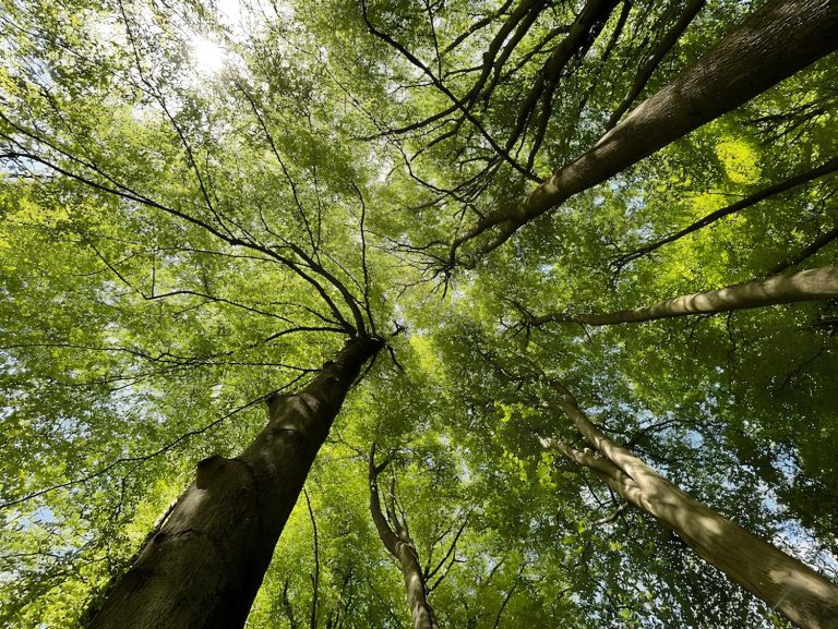
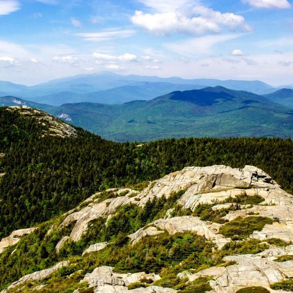
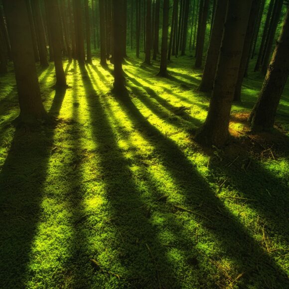
After losing some elevation, and reaching the starting point of the old ski lifts at Pian di Novello, take the forest road of the Pian degli Ontani Biogenetic Reserve. You’ll ride for about 8 km through a high forest of beech trees: the surface is particularly easy, allowing you to breathe calmly, immersed in a silence that invites listening.
Here, shortly after Balzo del Cinghiale, turn left and start descending towards Cutigliano, paying attention as the ground can be loose in some periods, so it’s important to adjust your speed. Keeping left and passing the white-red barrier of the Unione dei Comuni Montani, continue descending towards the SP 20. Once the first part of the gravel road ends and you reach the asphalt, you can choose to continue following the trail with the final stretch of descent on asphalt, or descend on asphalt towards Cutigliano via the SP 20 following the road signs.
The trail leads you onto the gravel above the agriturismo La Piastra, a simple descent although steep in its first part, which becomes a bit rougher in its second part. By keeping controlled speeds according to your abilities, it represents the last bit of fun for the day.
The gravel ends in the small village of Castellina: moderate your speed so as not to disturb the residents, and then cross the Cutigliano bridge to return, after a stop in the village square, to the cable car parking lot.
Itinerary by Leonardo Corsini