The Pistoiese Mountain, once the northern boundary of the Grand Duchy of Tuscany, was for centuries a vital resource thanks to its forests and water springs. However, this territory was also the scene of conflicts with the Duchy of Lucca and a place of exile for bandits and political dissenters.
By bicycle, we can retrace some parts of this fascinating history, cycling along trails, bridges, and rocks that preserve the traces of those times. The names of certain places, such as Monte Tre Potenze (marking the border between the Grand Duchy of Tuscany, the Duchy of Lucca, and the Duchy of Modena), and old popular sayings, such as “Lucchio, Limano e Vico tre paesi che non valgono un fico” (Lucchio, Limano, and Vico, three towns worth less than a fig), recount the stories of the past.
We start in the village of Pian degli Ontani, a quiet place perfect for an overnight stay and for stocking up on water and food from local shops. From here, we climb toward Pian di Novello along a 3 km trail that follows the Sestaione River, gaining 150 meters of elevation. After crossing the river on a convenient bridge, we reach the SP 20 road, which leads us to the entrance of the Biogenetic Forest of Pian degli Ontani.
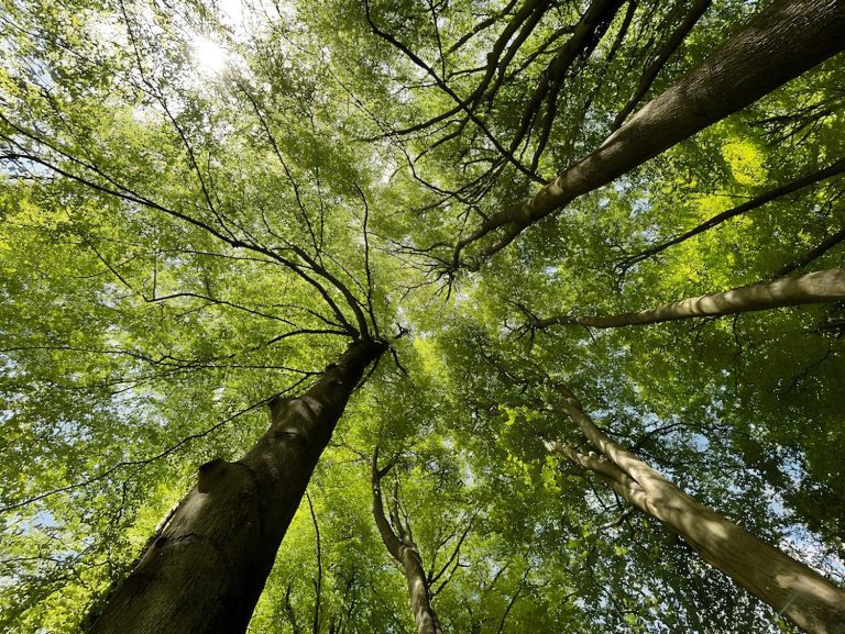
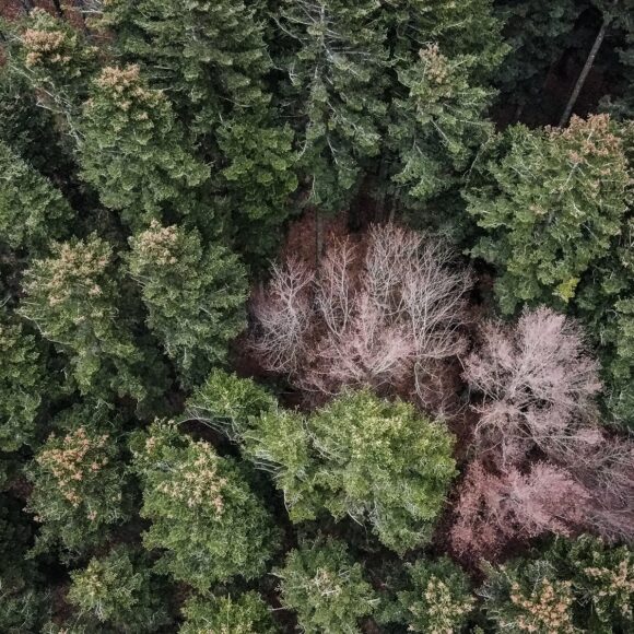
This part of the route, surrounded by majestic beech trees, is a unique experience for nature lovers. We cycle for about 7 km on a compact gravel surface until we reach a fork where a left-hand descent marks the start of the most challenging section of the route. It’s important to be cautious, as the terrain conditions can vary depending on the weather. After a short but steep descent, we face a climb toward Fonte Fredda, a strategic point where filling your water bottles is advised, as there are no other water sources in the next 7 km.
From Fonte Fredda, the road narrows and takes us through a series of tight switchbacks, where it might be necessary to dismount. Once past these sections, the trail widens again with a compact gravel surface, leading us toward the Towers of Popiglio, ancient watchtowers. If time allows, it’s worth getting closer to admire them.
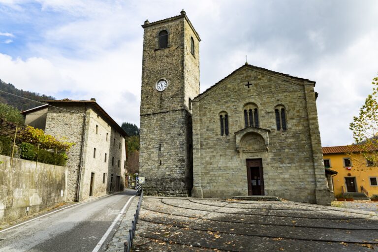
After a steep descent, we arrive in Popiglio, an ancient medieval village worth a brief stop. Continuing, we descend toward the Ponte delle Campanelle, also known as the Ponte di Castruccio, an important historical structure that once served as a customs point between the Grand Duchy of Tuscany and the Duchy of Lucca. Near the bridge, there is a farmhouse where you can stop for a break.
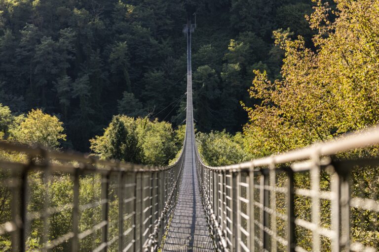
We resume the journey by climbing toward the village of Piteglio and the locality of Migliorini. This climb, interspersed with flat sections, is not too demanding and provides opportunities to catch your breath. Piteglio is a place rich in history and legends tied to the Templars. From here, we take an almost flat trail that brings us to San Marcello, where you can make a detour to visit the town centre. Continuing, we reach the Ponte Sospeso, one of the longest of its kind, for a spectacular stop.
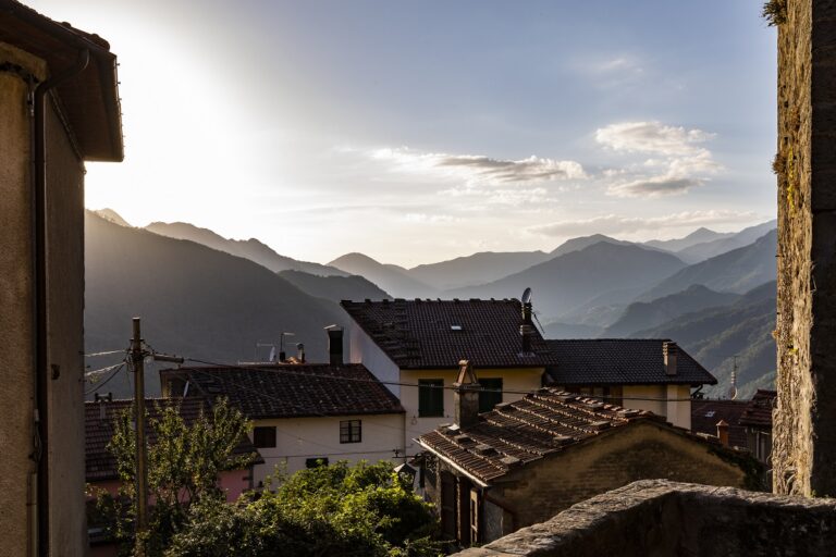
We return to the SS 66 road and head toward Spignana, tackling a climb of about 5 km alternated with easier stretches. After this final challenge, we reach Lancisa, where the descent toward the Lima River begins. Following the river along the Cammino di San Bartolomeo, we finally arrive in the medieval village of Cutigliano.
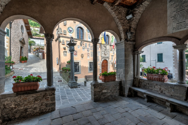
We pass through the town, admiring the Palazzo dei Capitani della Montagna, and conclude our journey in Piazza Catilina, surrounded by the beauty and history of this unique place.
Itinerary by Leonardo Corsini